On Japan’s highways, some car models are already using three-dimensional road maps accurate to the centimeter in order to drive more autonomously. The mobile phone provider Softbank, a subsidiary of the tech investor of the same name, now wants to make this possible for the capital Tokyo as well. By the end of the current fiscal year 2023, the company aims to create high-resolution three-dimensional (3D) digital maps of all 23 wards of Tokyo. The error rate compared to reality is said to be only five centimeters, the costs are drastically lower than the previous methods.
One goal is the development of maps for the new automated driving services of the mobility provider Monet Technologies, a joint venture of Softbank, Toyota and other Japanese car manufacturers. More and more regions in Japan are allowing self-driving without requiring drivers to have their hands on the wheel. This opens the door to truly autonomous driving.
support from South Korea
Softbank uses existing contacts with the South Korean Internet group Naver. The two companies have merged Asia’s popular Japanese chat app Line, which belonged to Naver, with Softbank’s internet group Z Holdings. Softbank is also investing in various Korean projects, including the expansion of Naver’s Metaverse platform in Asia. Now Softbank is bringing Naver’s metropolitan mapping concept to Japan.
The “Alike” technology from the Naver subsidiary Naver Labs differs from previous methods. Normal maps are created based on satellite photos. So far, however, this method has not been accurate enough for high-precision maps. It is therefore very complex to produce: The company Dynamic Map Platform (DMP), founded by Japanese map providers and car manufacturers, used vehicles fitted with laser scanners and video cameras to map the Japanese motorways, for example.

Japan has always tried everything possible with electronics – and often the impossible. Every Thursday our author Martin Kölling reports on the latest trends from Japan and neighboring countries.
For calibration, the company uses a Japanese network of positioning satellites that the government has launched into space in recent years. It also offers positioning accurate to the centimeter where previous GPS satellites sometimes have difficulties: in the urban canyons of Tokyo or in the many deep valleys of the mountainous island kingdom.
Aerial photos help
Naver’s technology, on the other hand, uses a new method for its maps: it compiles them from tens of thousands of aerial photographs taken by aircraft from an altitude of around 4,000 meters. Tunnels, areas under bridges and other blind spots that cannot be detected in this way are supplemented by lidar systems on cars, as with DMP. One advantage is the lower costs, another is the higher speed with which larger areas can be surveyed. In the case of Tokyo, that’s 12,000 kilometers of road.
The interior of buildings could also be digitized with robots or wearable systems. Because the goal goes beyond autonomous driving. Naver Labs wants to create digital copies of cities, so-called digital twins. For example, they can help to improve urban planning by playing through construction sites, major projects or evacuation measures after earthquakes in the virtual cities.
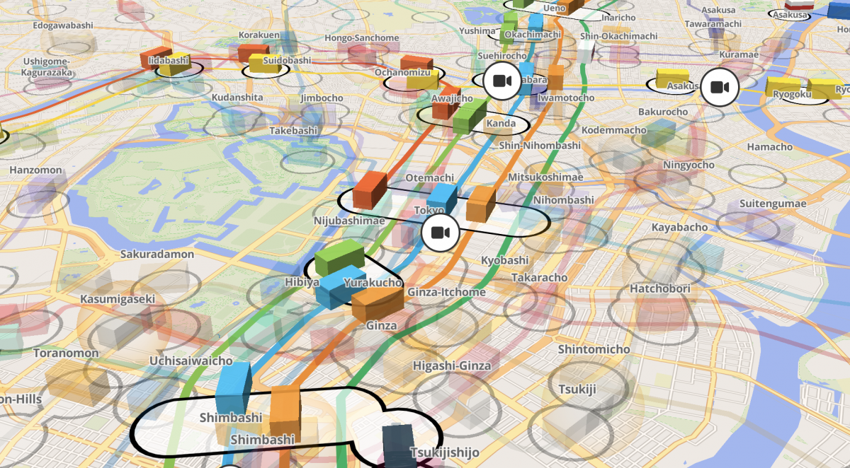
Softbank and DMP are also currently demonstrating in a part of Tokyo how the navigation of delivery robots can be improved. The Tokyo city government has even bigger plans: by 2030, they want to create a digital model of themselves. The Japanese can already see the first parts of the idea in their everyday lives. There is a 3D map on the Internet that shows the position of S-Bahn and U-Bahn trains in real time. If you want, you can even see selected surveillance cameras live – including the sound of the trains rushing by.

(bsc)
