The weather forecast for the next few days
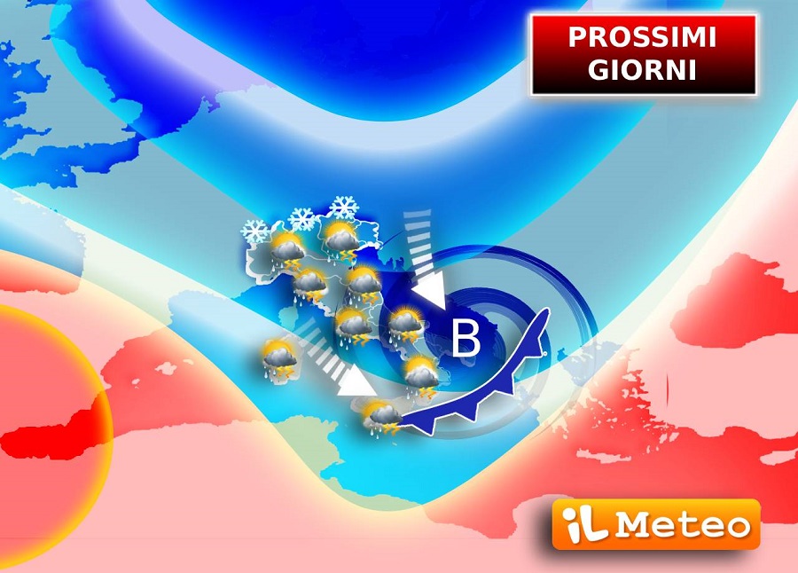
In the next few days the meteorological panorama of our country will be affected by two cyclonic vortices which will spread bad weather over many regions.
After the first important signs of change recorded on Tuesday 16 April, with the arrival of strong storms which hit especially the areas of the Triveneto and with a marked drop in temperatures, starting from Wednesday 17 April a phase of strong instability will begin which will still affect the Triveneto, starting from the Alpine and pre-Alpine reliefs and extending up to the high plains, but also a large part of the Center and the South. Also keep an eye on the temperatures, which are destined to drop further, returning to values more suited to the period or even finishing below average.
This phase of cold instability will not end on Wednesday, on the contrary. From Thursday 18 April the cold currents coming from Northern Europe will enter even more decisively, feeding a first cyclonic vortex which will begin to move its driving center towards the South from the Ligurian Sea. Cold bad weather is therefore expected in the Center and up much of the South. Some rain may still affect the Triveneto, Emilia Romagna and eastern Lombardy. The snow deserves special attention, as it may fall to low altitudes for the period, especially on the Apennine mountains (1100/1300 metres).
During Friday 19 April the cyclonic vortex will travel slowly towards Greece, leaving behind more bad weather in the Centre-South, while the situation will gradually improve in the northern regions, which will also see clear skies.
Temperatures will record a further drop, particularly between Thursday 18th and Friday 19th, not only during the day, but also at night. In particular, in the Northwest the thermometers could even approach the frost threshold in the open countryside!
For lovers of warm, beautiful weather there is no good news for the following days either. In fact, if the current forecasts are confirmed, a second cyclonic vortex will compromise the meteorological picture for the weekend too, particularly in the Centre-South.
