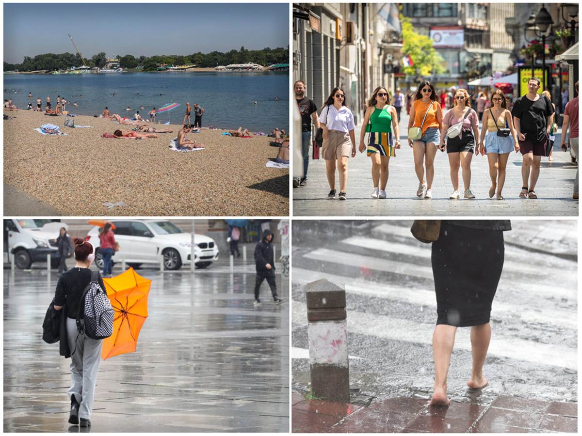
The warning of high temperatures already tomorrow turns into a warning of a sudden change in weather.
Source: MONDO/Stefan Stojanović/Kurir/Zorana Jevtić/Petar Aleksić
The maximum temperature in most places today (July 24) is from 34 to 37 °C, while tomorrow (July 25) it will be even hotter in central and southern Serbia – od 37 do 40 °Cannounced the Republic Hydrometeorological Institute (RHMZ), and for tomorrow turned on the red weather alarm for a good part of Serbia with a warning of a sudden change in the weather.
“On Tuesday (25.07.) at the end of the day in the north, and on Wednesday (26.07.) in other regions sudden change of weather with rain, showers, thunder and a temperature drop of about 15 degrees. In the zone of thunderstorms, hail is expected, as well as gale-force winds that may reach hurricane-force winds (> 28 m/s) for a short period of time,” it was stated on the RHMZ website.
“It will be the hottest on Tuesday, July 25, when the temperature will be from 37 to 40 degrees in the central and southern parts of the country, and A red weather alert will be issued due to the risk of forest fires, caused by high temperatures and a deficit of precipitation. In the night between Tuesday and Wednesday in Bačka, Srem and Banat there are new difficulties, stormy wind and hail. In the north, the temperature is sudden drops as much as 15 degrees”Slobodan Sovilj, head of the Center for Hydrometeorological System, Early Announcements and Warnings of RHMZ, told Nova.rs.
The heat of these days arrives with a sudden penetration of air from the north of Africa, while a cold front descends from the northwest. However, it is still difficult to predict how fierce it will be. “On Tuesday, most of the day will be sunny and very warm, especially over the eastern and southern regions, while a stronger cold front will descend from the northwest. That front could trigger pre-frontal instability over the northwest and north of the region at the end of the day on Tuesday. We will know whether they will start and how strong they will be until Tuesday morning, but for now there are no indications that a series of supercell storms can be expected because the parameters are different compared to the past period, there will be no quasi-stationary front that will constantly “feed” the same area with energythe jet stream will not stay over the same areas, but will move along with the fast-moving, cold front”, says amateur meteorologist Marko Čubrilo and notes: “In the summer, any storm can bring hail and very strong wind for a short time, and this can easily happen on Tuesday afternoon or on Wednesday, but not all will be nearly as devastating as those of the past few days, Nova writes.
“On Wednesday during the day, a cold front will move so that stronger cooling with showers and strong winds are expected along the entire region, while in the afternoon there will be a partial clearing in the north. On Wednesday afternoon, it will also cool along the Adriatic, but with less frequent showers. At the end of the week, it will be moderately warm with very fresh nights, and the minimums in the mountains will often be below +10 degrees Celsius. On Wednesday, the daily maximum from +15 to +24 degrees Celsius, and then from +20 to +28 degrees Celsius. At the end of the week, it will be a little warmer but unstable with possible showers, especially in the north of the region and daily maximums of +26 to +31 degrees Celsius, which is within the limits of the average”, announces Čubrilo.
BONUS VIDEO:
00:40 Storm in Nis Source: Kurir
Source: Courier
(WORLD)
