reading time
2 minutes, 24 seconds Weather Italy: the height of the African heat, but some strong storms are on the way
SHARP OF AFRICAN HEAT IN THE NEXT 48 HOURS – Apex of the African anticyclone in these hours on Italy with the heat that will be further intensified on the whole Peninsula. Peaks of up to 36-38°C are expected in the inland areas of the Centro-South, up to over 34-35°C also in the Po Valley, but on the Major Islands and in particular on Sardinia it will also be possible to reach i 40°C. Less hot along the coasts thanks to the sea breezes and the sea still rather cool, but the heat will be felt due to the high humidity levels.Skyrocketing heat also in the Po Valley and in large urban centres, where it will also suffer during the evening hours. In some cases we will have the so-called ‘tropical nights’, i.e. nights in which temperatures will not drop below 21-22°C and this in particular once again in large cities and in general on coastal sectors.
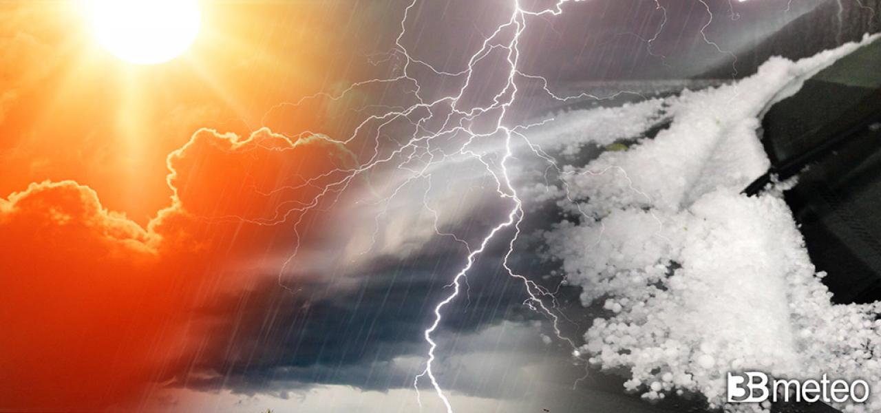
BETWEEN THURSDAY AND FRIDAY, BUT ALSO STRONG THUNDERSTORMS ARRIVE – The defaillance of the African anticyclone will begin on Thursday, especially in the Northwest where the first thunderstorms are expected especially in the evening. Phenomena in particular in the Alps, Piedmont and upper Lombardy where locally violent events are not excluded associated with hailstorms and/or as intense as sudden gusts of wind. On Friday, infiltrations of cooler Atlantic air will also reach the remaining Northeast and Emilia Romagna with scattered thunderstorms which, also in this case, could be locally intense with storms and hailstorms not excluded. The Center is also partially involved and in particular eastern Tuscany, Umbria, the Marches, more sporadically inland Lazio and Abruzzo. All accompanied by one at least partial damping of the heatwavemore decisive on the Adriatic and Northeast side where even more than 4-5°C can be lost”.
THE TIME FORESEEN FOR NEXT WEEKEND – In the coming weekend some showers or thunderstorms will also reach the southern peninsular and Tyrrhenian Sicily, accompanied by a drop in temperatures, but in any case the sun will not be missing. Occasional thunderstorms could also renew between Lazio and Abruzzo (even here in a predominantly sunny context), while elsewhere the sun will be more decisive on the rest of Italy.
FOLLOWING COMES THE ANTICYCLONE OF THE AZORES – Next week will instead see the return of the Azores anticyclone on Italy, already arriving during the weekend at least in the North and part of the Center. We will therefore have mainly sunny days but there will be some thunderstorms in the Alps, Pre-Alps and Apennines, all in a thermal context that is still hot at times even intense, but generally less than these days. Finally, a possible more decisive storm break at the end of the month, especially in the North, should be evaluated, but today it remains a hypothesis that will need confirmation.
Do you have a weather station and want to add it to our network? Find out how >> Weather stations.
When it rains there are a few more precautions to take while driving, such as checking the correct tire pressure. >> Here.
