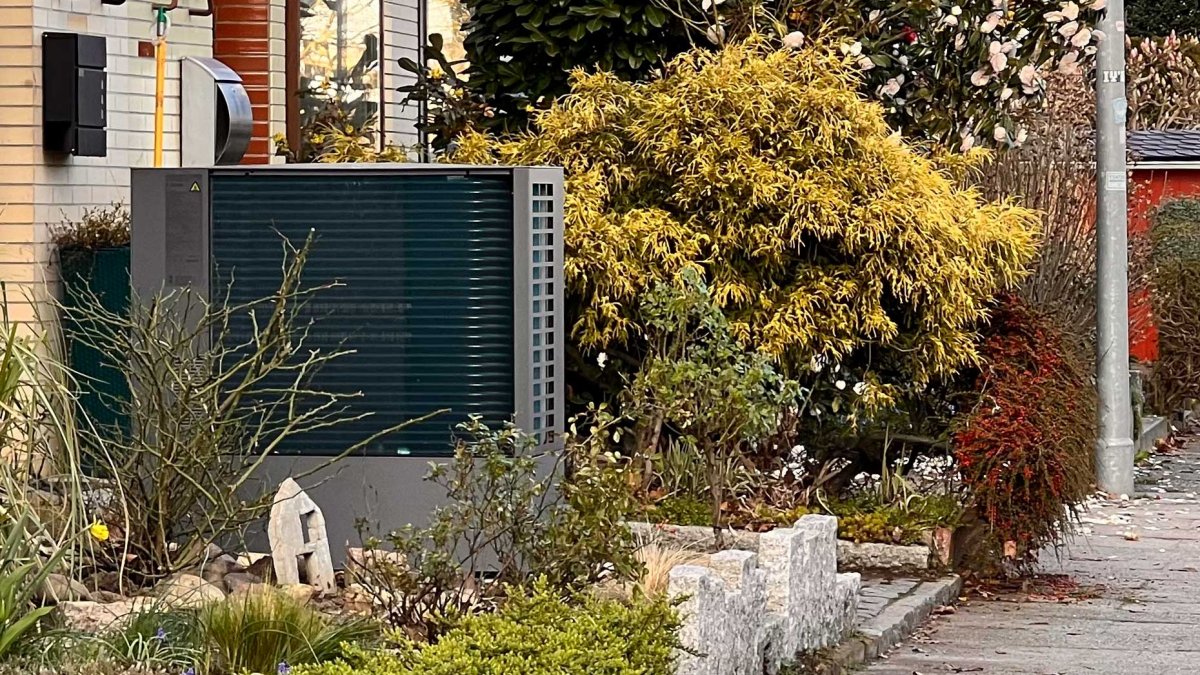
The heat transition plays a key role in transforming the entire energy supply. Space heating, hot water and process heat make up more than half of German final energy consumption. At least for the first two, fossil fuels can be easily and efficiently replaced by heat pumps that bring geothermal energy to pleasant living and shower temperatures. And this constant warmth exists everywhere beneath Germany’s surface.
Advertisement
However, information about near-surface geothermal energy is currently only available in very fragmented form. You usually have to consult different, often confusing maps on the websites of geological authorities in the individual federal states. This shows how warm the subsoil is and at what depth, but usually not where you are allowed to drill.
The new Germany-wide GeotIS traffic light map now aims to remedy this deficiency. It not only provides information about earth temperatures, but above all also points out areas where probe drilling is not permitted, for example in nature reserves. The map shows such areas in red. Green, on the other hand, are areas where earth probes can be placed without any problems.
In between, however, there are still yellow areas where there may be restrictions, such as in water protection areas. The map developers did not have any clear information for these areas. Even then you have to investigate more carefully. When you click on these locations, GeotIS takes you directly to the web portals of the responsible authorities in the respective federal states.
“Show possibilities for the heat transition”
For this type of traffic light map, researchers in a project called HitzeGut collected all conceivable geological data from many sources, prepared it and linked it to land registers and land maps.
The first complete traffic light map for Mecklenburg-Western Pomerania is now available online. Further maps for the entire Federal Republic are planned by the end of the year. Future versions will also show how much thermal energy the probes can extract from the ground.
“With the traffic light maps we can reach all people who are interested in geothermal energy,” says Inga Moeck, professor at the University of Göttingen and head of geothermal energy research at the Leibniz Institute for Applied Geophysics (LIAG) in Hanover. “With our prepared scientific data, we would also like to support the municipalities and show possibilities for the heat transition.”
Municipal heating plans
This information can be crucial, especially for municipalities. They are now obliged to develop heating plans in the coming years. In this they must determine which areas in their planning area should be supplied with heat, how they should be supplied and how they want to use renewable energies. Here too, many rely on near-surface geothermal energy in combination with heat pumps.
Typically, probes are sunk up to 100 meters deep in boreholes in which brine circulates as a heat transport medium. If you don’t go deeper, you don’t have to worry about complicated and lengthy approval procedures.
Although the temperatures at these depths are not particularly high at 10 to 20 degrees, the heat pumps raise them to 35 to 50 degrees. The advantage is that the soil temperature is always the same and stable in summer and winter. Because of the low input temperature, geothermal probe systems can also cool interior spaces on hot summer days. The costs for the heat pump are relatively manageable at 18,000 to 28,000 euros. However, there are also costs for probe drilling up to 100 meters deep, which vary depending on the region and provider – and can also have their pitfalls. An alternative here would be trench collectors, which can be installed more cheaply and without deep drilling. Depending on the type of collectors, they are usually 1.5 to 2 meters deep.
GeotIS therefore wants to provide the basis for decisions like these. It is based on geothermal energy data from 30,000 boreholes and links it with temperature and structural data from various maps.
The geothermal energy portal, which was launched 15 years ago, was originally intended to create an overview map of deep geothermal energy down to a depth of several thousand meters. However, since the need for information on near-surface geothermal energy up to a depth of 400 meters is growing with the political importance of the heat transition, GeotIS is now gradually putting its expanded and revised version online.
(jl)
To home page
