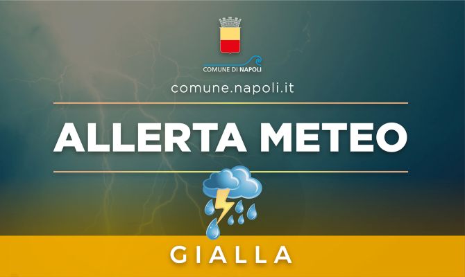
Notice of 04/16/2023
City parks will be closed. The North Pier of Bagnoli also remains closed and access to the city’s public beaches is prohibited.
Local precipitations, including downpours and thunderstorms, punctually of moderate intensity.ALERT level:
YELLOW
Risk type:
Localized Hydrogeological.
Main event scenarios and ground effects:
– Thunderstorms characterized by forecast uncertainty and rapid evolution, with damage to roofs and temporary structures due to gusts of wind, lightning, possible hailstorms and falling branches or trees;
– Surface runoffs with possible material transport phenomena;
– Increase in hydrometric levels of minor waterways, with flooding of neighboring areas, also as a result of local criticalities (tombing, narrowing, etc.);
– Possible flooding of underground rooms and those on the ground floor;
– Surface flow of water in roadways and possible phenomena of regurgitation of rainwater disposal systems with overflowing and involvement of depressed urban areas, due to soil saturation, even in the absence of rainfall.
- Rules of conduct in the event of a weather alert for strong gusts of wind
- Rules of conduct in the event of a weather alert for relevant hydrogeological phenomena
Notice of 04/15/2023
Local precipitations, including downpours and thunderstorms, punctually of moderate intensity.ALERT level:
YELLOW
Risk type:
Hydrogeological for thunderstormsLocal precipitation, including downpours and thunderstorms, punctually of moderate intensity.
Main event scenarios and ground effects:
– thunderstorms characterized by forecast uncertainty and rapid evolution, with damage to roofing and temporary structures due to gusts of wind, lightning, possible hailstorms and falling branches or trees;
– surface runoffs with possible material transport phenomena;
– Increase in hydrometric levels of minor waterways, with flooding of neighboring areas, also as a result of local criticalities (tombing, narrowing, etc.);
– possible flooding of underground rooms and those on the ground floor;
– superficial water flow in the roadways and possible phenomena of regurgitation of the rainwater disposal systems with overflowing and involvement of depressed urban areas.
Notice of 04/14/2023
Scattered precipitations, including downpours and thunderstorms, locally of moderate intensity.
ALERT level:
YELLOW
Risk type:
Hydrogeological for thunderstorms
Main event scenarios and ground effects:
– thunderstorms characterized by forecast uncertainty and rapid evolution, with damage to roofing and temporary structures due to gusts of wind, lightning, possible hailstorms and falling branches or trees;
– surface runoffs with possible material transport phenomena;
– raising of hydrometric levels of minor watercourses, with flooding of neighboring areas, also due to local criticalities (tombing, restrictions, etc.);
– possible flooding of underground rooms and those on the ground floor;
– superficial water flow in the roadways and possible phenomena of regurgitation of the rainwater disposal systems with overflowing and involvement of depressed urban areas.
Rules of conduct in the event of a weather alert for strong gusts of wind
– Observe detail be careful when traveling, limiting them to what is strictly necessary.
Rules of conduct in the event of a weather alert for relevant hydrogeological phenomena
– If you need to drive through a road underpass, a critical site in the event of a weather alert, proceed with great caution, checking that it is practicable and, if not, immediately notify the emergency numbers 112, 113, 115.
– Citizens are invited to pay the utmost attention to the sites already reported for hydrogeological risk (slopes and slopes for possible landslides and landslides) and hydraulic risk (underpasses and areas of sewage collectors for possible flooding).
The underpasses and the city sites subject to attention, which may be closed in the event of heavy rain, are as follows:
1. Underpass of Via Claudio/Stadio San Paolo (left side) (Fuorigrotta)
2. Underpasses of Viale dei Ciliegi (Chiaiano)
3. Underpass of via Vicinale Cupa San Severino/Via Antonio de Ferraris (Poggioreale)
4. Underpass of Via Comunale San Severino/Via Fasano (Poggioreale)
5. Via Enrico Russo underpass (Barra)
6. Underpass of Via Mastellone (Barra)
7. Underpasses of the Naples Business Center (Poggioreale)
8. Arena S.Antonio height Via Ben Hur (Soccavo)
Specification of the “Areas of Interest”:
Zone 1: Piana Campana, Naples, Islands, Vesuvian Area;
zone 2: Alto Volturno and Matese;
Zone 3: Sorrento-Amalfi Peninsula, Monti di Sarno and Monti Picentini;
zone 4: Upper Irpinia and Sannio;
zone 5: Tusciano and Alto Sele;
zone 6: Piana Sele and Alto Cilento;
zone 7: Tanagro;
Zone 8: Lower Cilento.
