reading time
2 minutes, 46 seconds Italy weather report
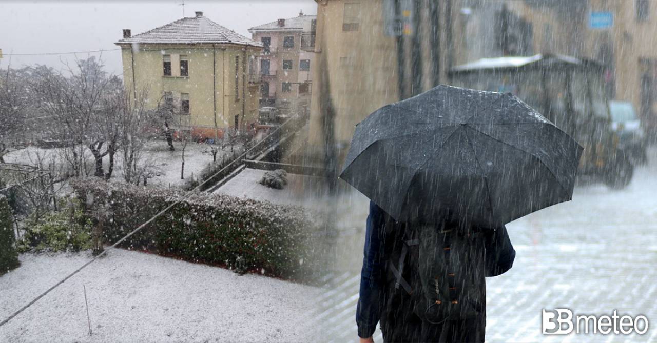
UPDATE 6.45 PM – BEAUTIFUL SNOW IN CUNEO. Intensifying snowfall in the city of Cuneo where the snow cover increases visibly.
UPDATE 6.00 PM – FLAKES ALSO ON MILAN. In the last few minutes some snowflakes have also spread to Milan, in particular the southern area.
UPDATE 4.45 PM. SOME SNOW ALSO IN EMILIA. Moderate precipitation is affecting Parma and Piacenza, with snow. Flakes are also reported on the upper Reggio Emilia plain and in the Modena area. In the Bolognese area snow level at 200m on the Apennines.
UPDATE 3PM. WEAK SNOW IN THE NORTHWEST. The disturbance is progressing and the rainfall, although light, extends to a good part of the North-West. Given the low temperatures, the phenomena take on a snowy character up to the plains in Piedmont or at times mixed with rain, with a few flakes which also made a brief appearance in Turin around lunchtime. Slightly more significant phenomena are reported in the western Ligurian hinterland.
UPDATE 10.30 AM. PIEDMONT, FIRST FLAKES IN THE PLAIN. Light snowfalls are affecting part of the northern Piedmont plain in the morning, in particular the Ivrea area with a light dusting and temperatures of 0°C.
SITUATION 8 AM. DISTURBANCE COMING FROM THE NORTHWEST. From the Atlantic, the expected disturbance is reaching north-western Italy at the start of the week, causing an increase in cloud cover over Valle d’Aosta, Piedmont, Liguria, upper Tuscany, western Emilia, Lombardy and Sardinia, for the moment without significant phenomena . Temperatures near zero at dawn are reported on the Piedmont plainwhere he is also expected in the next few hours a few snowflakes, albeit of weak intensity. Over the rest of Italy, conditions are stable with few clouds present, apart from some irregular thickening in the far south.
FORECAST FOR THE NEXT HOURS. Al Nord further thickening clouds in the Northwest with light rain arriving in Western Liguria and some snowfall in the Western Alps. Phenomena moderately intensifying in the Northwest with some snowfall at times as far as the plains or mixed with rain in Piedmont during the afternoon; rain extending to eastern Liguria, central-western Emilia, Lombardy and western Triveneto, generally of weak intensity but with flakes at times mixed with rain in the western sectors of Lombardy and Emilia. Some more significant phenomena expected from the afternoon in Liguria on the Ponente sector, in the evening also on the Levante sector, with snow in the hinterland starting from 400/600m. To the center Increasing clouds over the Tyrrhenian regions with first rains by the afternoon in Tuscany, extending to Lazio by the evening. Light snowfall in the Apennine areas above 800/1000m, but at lower altitudes in the western Tuscan-Emilian Apennines. Clouds increasing between the afternoon and evening over the Adriatic regions but without any phenomenon. To the Sud partly cloudy skies on the peninsular areas with increasing cloud cover in the evening on the Tyrrhenian side, especially in Campania, where some local showers will be possible at the end of the day. Mostly sunny in Sicily. Increasing clouds in Sardinia with some rain in the evening in the north-western sector. Temperature decreasing in the maximum in the North. Winds tending to move from south-southeast over the western basins and to strengthen. For all the details enter the section Italy weather.
Become a weather reporter too, report the weather in your location. It’s very simple: click here to find out how >> Meteoreporter.
Gelicidio, Brina, Galaverna and Calabrosa, in some cases are real dangers in winter. Let’s see what they are and how they are formed >> Here.
